The quality of the equipment and level of service exceeded our expectations. GeoSurv Africa has become our preferred surveying solutions provider.
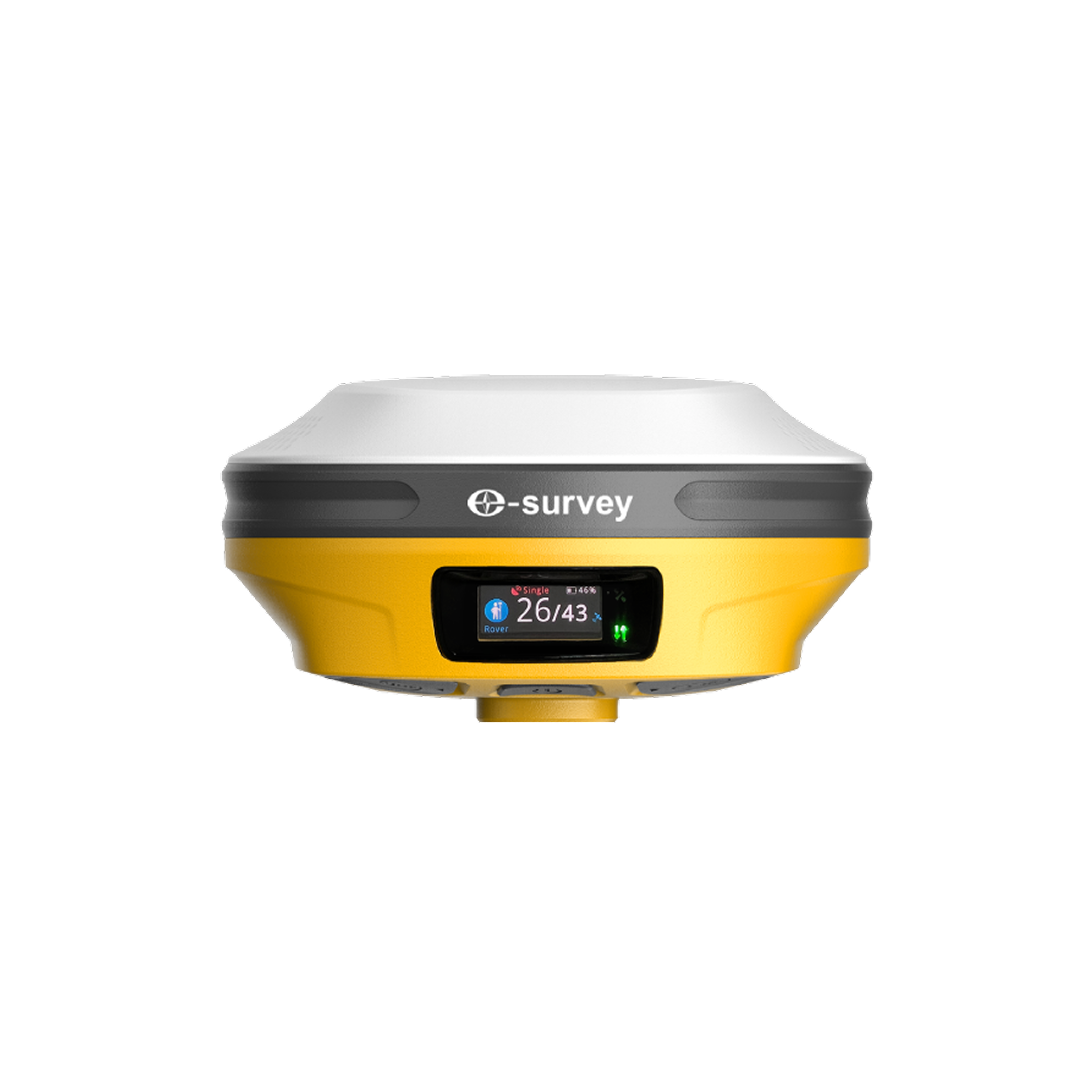
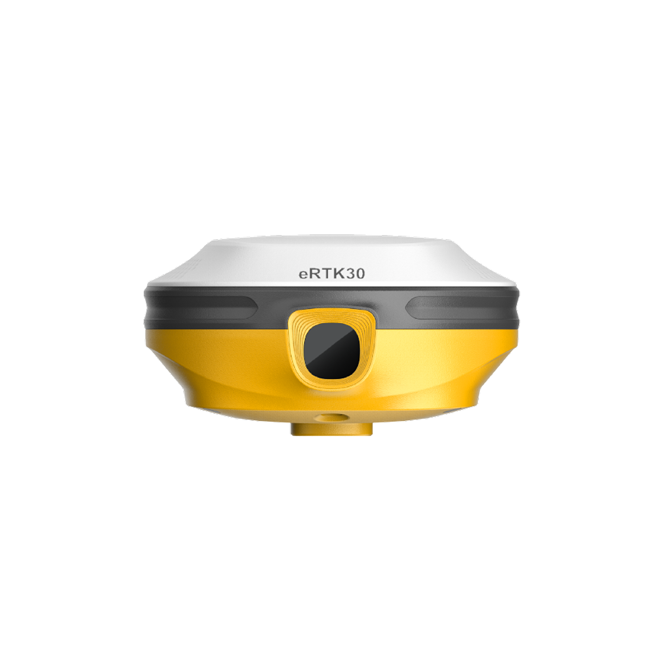
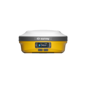
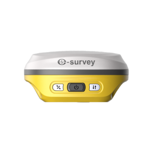
Designed to enhance surveying efficiency and accuracy, this advanced GNSS receiver combines visual surveying, augmented reality stakeout, dual-camera technology, and 60° tilt compensation into a single powerful solution. Built for modern surveyors, it delivers fast, reliable positioning performance even in challenging field environments.
Built for the next generation of surveying professionals, this advanced GNSS receiver combines cutting-edge positioning technology with visual surveying capabilities to simplify field operations and improve productivity. Equipped with dual integrated cameras, the system enables visual surveying workflows that help users collect accurate spatial data while reducing field time and improving efficiency. The receiver features advanced augmented reality (AR) stakeout technology, allowing surveyors to visualize stakeout points directly within the field environment. This improves point identification, reduces errors, and streamlines construction layout, engineering surveys, and infrastructure development projects. With integrated 60° tilt measurement functionality, surveyors can accurately collect points without needing to keep the survey pole perfectly vertical. This capability significantly improves productivity when working around obstacles, difficult terrain, buildings, fences, and hazardous areas. Designed for demanding surveying environments, the receiver delivers fast GNSS initialization, reliable positioning performance, and robust signal tracking. Its advanced satellite tracking technology supports multiple GNSS constellations, helping maintain accuracy even in challenging environments such as urban canyons, construction sites, and areas with partial sky visibility. Whether used for topographic surveys, construction staking, GIS data collection, utility mapping, engineering surveys, cadastral projects, or infrastructure development, this GNSS receiver provides the accuracy, efficiency, and reliability required by modern surveying professionals.
| Feature / Specification | Details |
|---|---|
| Model | E-Survey eRTK30 |
| Product Type | GNSS Receiver |
| Camera System | Dual Cameras |
| Visual Surveying | Yes |
| AR Stakeout | Yes |
| Tilt Measurement | Up to 60° |
| Satellite Tracking | Multi-Constellation GNSS |
| Positioning Technology | RTK GNSS |
| Survey Method | Visual Surveying |
| Stakeout Method | Augmented Reality Stakeout |
| Application | Surveying & Construction |
| Field Operation | Tilt Compensation Enabled |
| Data Collection | High-Precision GNSS |
| Workflow | Real-Time Positioning |
| Industry | Land Surveying & Geospatial |
Calibration, repair and accuracy testing for most professional brands.
We match the kit to your accuracy needs and budget, no upselling.
Phone, email or WhatsApp a person who actually knows the gear.
Cover project peaks or service downtime with short-term hire.

The E-Survey eRTK30 is used for land surveying, topographic surveys, construction staking, utility mapping, GIS data collection, engineering surveys, and infrastructure development projects.
Visual surveying uses integrated cameras to capture and measure survey points visually, helping surveyors collect data more efficiently and accurately in the field.
AR stakeout technology overlays stakeout information onto the real-world environment, making it easier to locate design points and complete layout tasks accurately.
The 60° tilt compensation feature allows accurate point measurements without keeping the survey pole perfectly vertical, improving productivity around obstacles and difficult terrain.
Yes. The receiver is designed to maintain reliable positioning performance in construction sites, urban environments, and locations with partial satellite visibility.
The quality of the equipment and level of service exceeded our expectations. GeoSurv Africa has become our preferred surveying solutions provider.
GeoSurv Africa has been instrumental in helping us deliver projects accurately and on schedule. Their equipment is reliable, and their support team is always ready to assist.
GeoSurv Africa's commitment to quality and customer satisfaction sets them apart. Their knowledgeable team always provides practical solutions tailored to our needs.
The training and technical support we received were invaluable. The team ensured we were confident using the equipment and achieving accurate measurements from day one.
Reliable products, expert advice, and excellent service. GeoSurv Africa continues to play an important role in helping us deliver successful projects on time and within budget.
GeoSurv Africa consistently provides reliable surveying equipment and exceptional support. Their team helped us select the right solution for our project, and the results exceeded our expectations.
They helped us choose the right equipment based on our actual project needs. Honest advice, quality products, and excellent after-sales support.
Tell us what you need and we’ll get back to you within 1 business day.