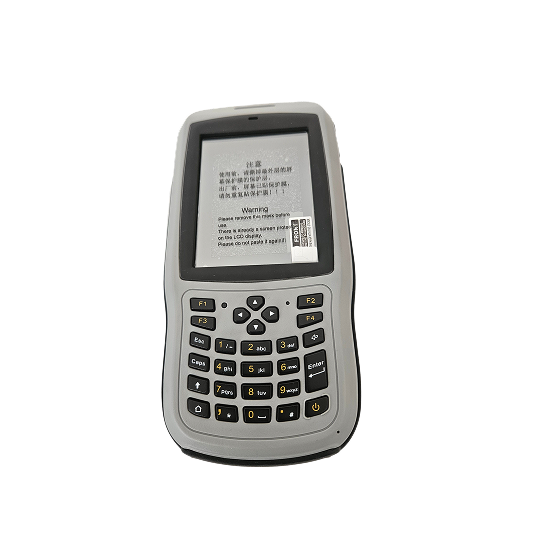
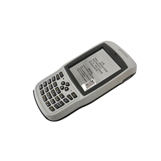
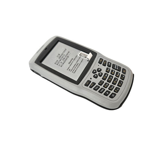
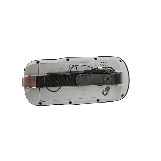
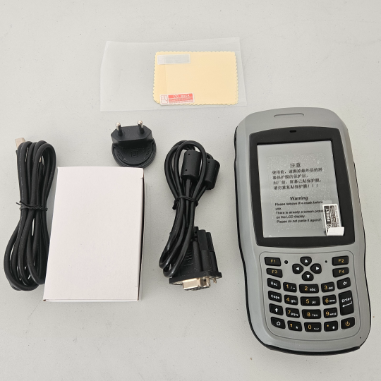
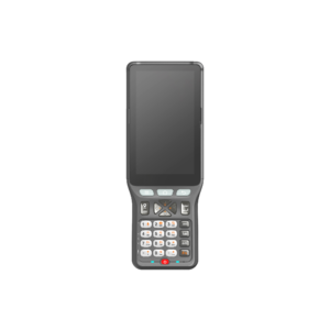
T18n Windows Handheld

Built for professional field data collection and GIS applications, this rugged Windows handheld device combines portability, durability, and powerful mobile computing capabilities. Designed for surveying, asset management, utility mapping, and field inspections, it enables efficient data capture and real-time information management in demanding environments.

About the T18n Windows Handheld.

Designed to meet the needs of modern field professionals, this rugged Windows handheld device delivers reliable mobile computing performance for surveying, GIS mapping, utility inspections, asset management, and data collection applications. Combining portability with powerful functionality, it allows users to capture, process, and manage field information efficiently while working in demanding environments. Its compact and ergonomic design makes it easy to carry and operate throughout the workday, while the rugged construction helps protect the device from harsh site conditions commonly encountered in surveying, engineering, construction, and utility projects. Powered by a Windows operating platform, the handheld offers compatibility with a wide range of professional software applications, making it a versatile solution for organizations requiring flexible field data collection and management capabilities. Users can access project information, collect field observations, manage assets, and synchronize data efficiently between field teams and office staff. Whether used for GIS mapping, infrastructure inspections, utility management, environmental surveys, asset tracking, or engineering projects, the device helps improve productivity, reduce paperwork, and streamline field-to-office workflows. Its dependable performance and durable design make it a valuable tool for professionals working in challenging outdoor environments.

Specifications

Feature / Specification

Feature / Specification Details
Model T18N Windows Handheld
Device Type Rugged Handheld Data Collector
Operating System Windows
Application Field Data Collection
Usage Surveying & GIS
Asset Management Yes
Utility Mapping Yes
Field Inspection Yes
Mobile Computing Yes
Data Collection Real-Time
Portability Handheld Design
Construction Rugged
Industry Land Surveying & Geospatial
Connectivity Data Transfer Capable
Workflow Field-to-Office Integration

Backed by GeoSurv Africa

Calibration, repair and accuracy testing for most professional brands.

We match the kit to your accuracy needs and budget, no upselling.

Phone, email or WhatsApp a person who actually knows the gear.

Cover project peaks or service downtime with short-term hire.

What is the T18N Windows Handheld used for?

The T18N Windows Handheld is used for field data collection, GIS mapping, utility inspections, surveying support, asset management, and mobile workforce applications.

Which industries commonly use the T18N Windows Handheld?

The device is commonly used in land surveying, GIS, utilities, civil engineering, infrastructure management, environmental monitoring, and asset management industries.

Does the T18N run on Windows?

Yes. The device operates on a Windows platform, allowing compatibility with many professional field software applications.

Can the T18N be used for GIS data collection?

Yes. The handheld is designed to support GIS mapping, field data collection, and geospatial information management workflows.

Trusted by Professionals

The quality of the equipment and level of service exceeded our expectations. GeoSurv Africa has become our preferred surveying solutions provider.

Sipho DlaminiSenior Surveyor

GeoSurv Africa has been instrumental in helping us deliver projects accurately and on schedule. Their equipment is reliable, and their support team is always ready to assist.

Pieter Botha,Project Manager

GeoSurv Africa's commitment to quality and customer satisfaction sets them apart. Their knowledgeable team always provides practical solutions tailored to our needs.

Andrew SmithLand Surveying Professional

The training and technical support we received were invaluable. The team ensured we were confident using the equipment and achieving accurate measurements from day one.

James PetersonEngineering Survey Specialist

Reliable products, expert advice, and excellent service. GeoSurv Africa continues to play an important role in helping us deliver successful projects on time and within budget.

Thabo MokoenaDavid Nkosi, Land Surveyor

GeoSurv Africa consistently provides reliable surveying equipment and exceptional support. Their team helped us select the right solution for our project, and the results exceeded our expectations.

Richard BothaInfrastructure Project Coordinator

They helped us choose the right equipment based on our actual project needs. Honest advice, quality products, and excellent after-sales support.

Ryan JacobsCivil Contractor, Durban, Durban
Products

Browse by Industry & Category