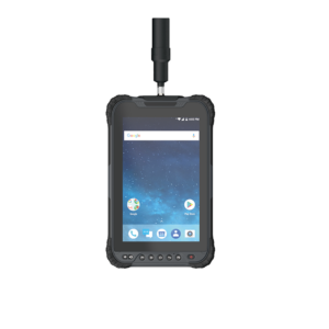
RinoNav Dios GNSS Receiver

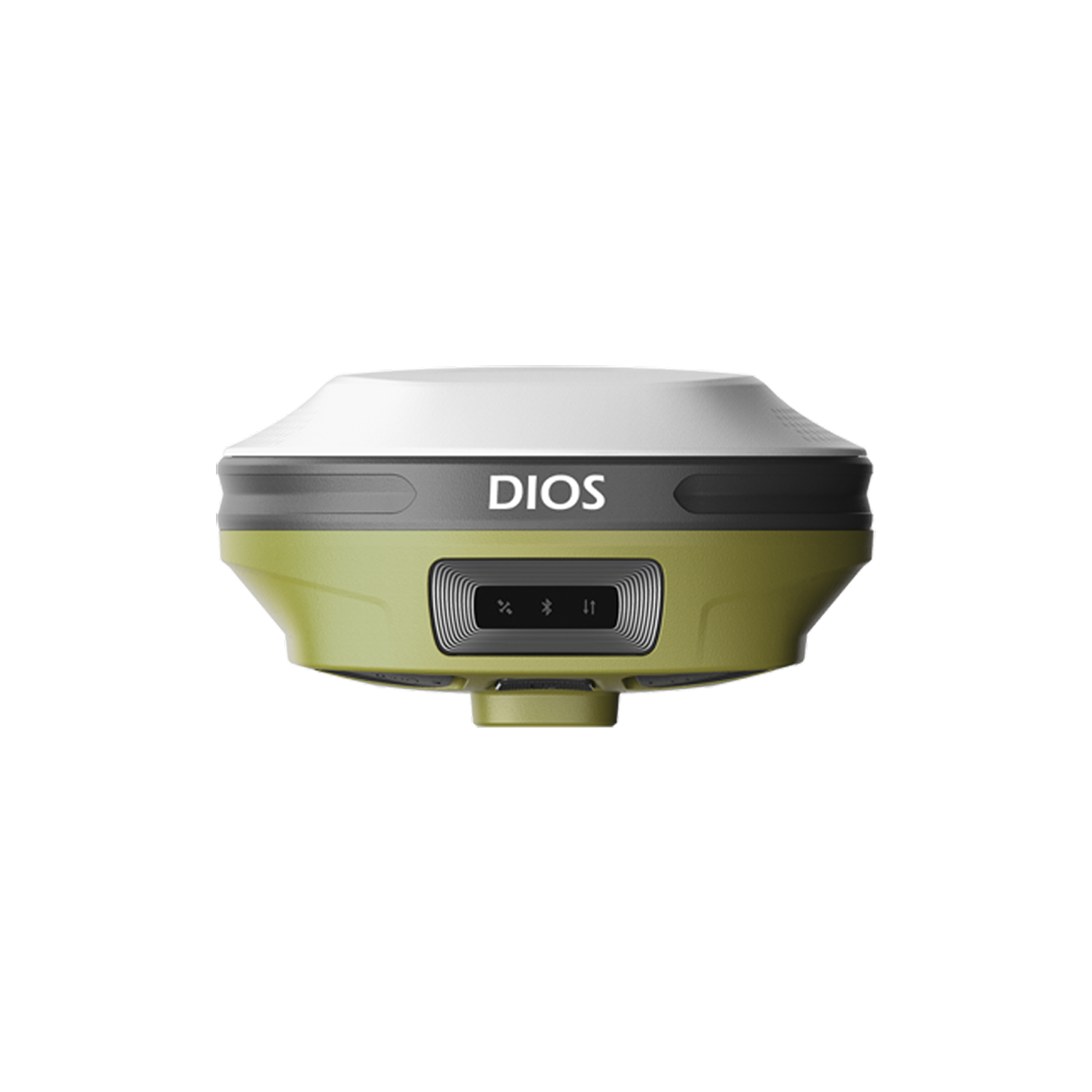
RinoNav DIOS is a high-performance visual GNSS receiver featuring AR stakeout, visual measurement technology, 60° tilt survey, and centimeter-level RTK accuracy, helping surveyors work faster and more efficiently in the field.

About the RinoNav Dios GNSS Receiver.

RinoNav DIOS is an advanced visual GNSS receiver that combines dual-camera visual surveying, CAD AR stakeout, 1408-channel multi-constellation GNSS tracking, and 60° IMU tilt compensation for fast and accurate field measurements. With integrated 4G and UHF communication, it delivers reliable centimeter-level positioning for surveying, construction, engineering, and mapping applications.

Specifications

General Specifications

Feature / Specification Details
Product Name RinoNav Dios GNSS Receiver
Product Type RTK GNSS Receiver
GNSS Channels 1408 (2050 Optional)
Supported Constellations GPS, BeiDou, GLONASS, Galileo, NavIC, QZSS, SBAS, L-Band PPP
Update Rate Up to 20 Hz
Cold Start < 30 Seconds
Warm Start < 20 Seconds
Hot Start < 5 Seconds
RTK Initialization < 5 Seconds
Initialization Reliability > 99.9%

Positioning Performance

Feature / Specification Details
RTK Accuracy Horizontal: 8 mm + 1 ppm RMS
Vertical: 15 mm + 1 ppm RMS
Static Accuracy Horizontal: 2.5 mm + 0.1 ppm RMS
Vertical: 3.5 mm + 0.4 ppm RMS
Correction Formats RTCM V3.X, RTCM2.X, CMR

Battery & System

Feature / Specification Details
Battery Built-in 3.65V 5,800 mAh Lithium-ion
Working Time Up to 13 Hours (Visual Survey / Visual Stakeout)
Charging Time Approximately 5.5 Hours
Charging Port USB Type-C PD (12V / 1.5A)
Operating System Linux
Internal Memory 8 GB

Backed by GeoSurv Africa

Calibration, repair and accuracy testing for most professional brands.

We match the kit to your accuracy needs and budget, no upselling.

Phone, email or WhatsApp a person who actually knows the gear.

Cover project peaks or service downtime with short-term hire.

What is the RinoNav DIOS used for?

It is used for land surveying, construction layout, engineering surveys, mapping, and GIS data collection.

Does the DIOS support visual surveying?

Yes, it features visual measurement technology that allows surveyors to capture points using images and video.

What is AR stakeout?

The CAD AR system overlays design drawings onto real-world scenes, making stakeout faster and more intuitive.

How many GNSS channels does it support?

The DIOS supports 1408 GNSS tracking channels with multi-constellation tracking.

Trusted by Professionals

The quality of the equipment and level of service exceeded our expectations. GeoSurv Africa has become our preferred surveying solutions provider.

Sipho DlaminiSenior Surveyor

GeoSurv Africa has been instrumental in helping us deliver projects accurately and on schedule. Their equipment is reliable, and their support team is always ready to assist.

Pieter Botha,Project Manager

GeoSurv Africa's commitment to quality and customer satisfaction sets them apart. Their knowledgeable team always provides practical solutions tailored to our needs.

Andrew SmithLand Surveying Professional

The training and technical support we received were invaluable. The team ensured we were confident using the equipment and achieving accurate measurements from day one.

James PetersonEngineering Survey Specialist

Reliable products, expert advice, and excellent service. GeoSurv Africa continues to play an important role in helping us deliver successful projects on time and within budget.

Thabo MokoenaDavid Nkosi, Land Surveyor

GeoSurv Africa consistently provides reliable surveying equipment and exceptional support. Their team helped us select the right solution for our project, and the results exceeded our expectations.

Richard BothaInfrastructure Project Coordinator

They helped us choose the right equipment based on our actual project needs. Honest advice, quality products, and excellent after-sales support.

Ryan JacobsCivil Contractor, Durban, Durban

Related Products

Products

Browse by Industry & Category