Rinolink Software

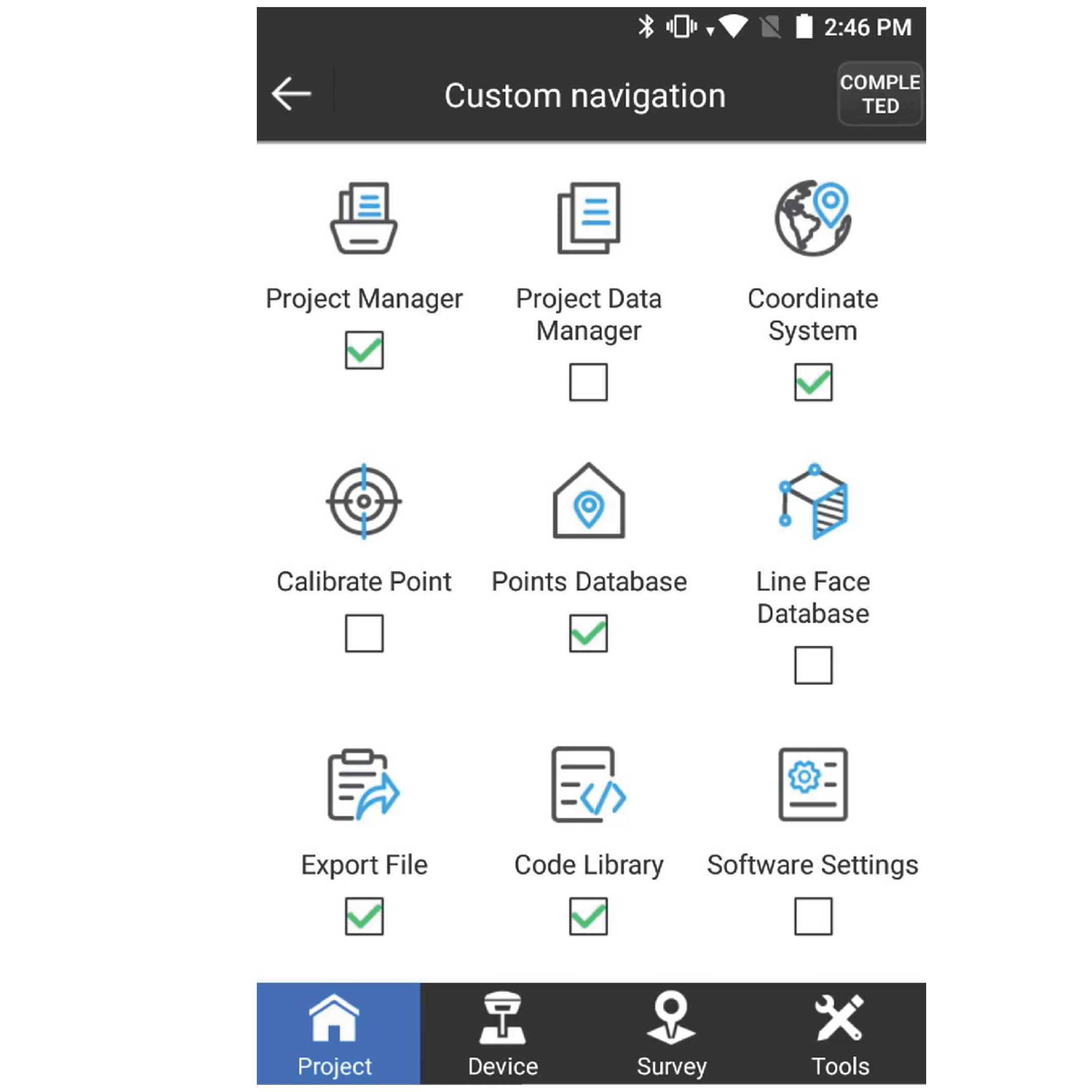
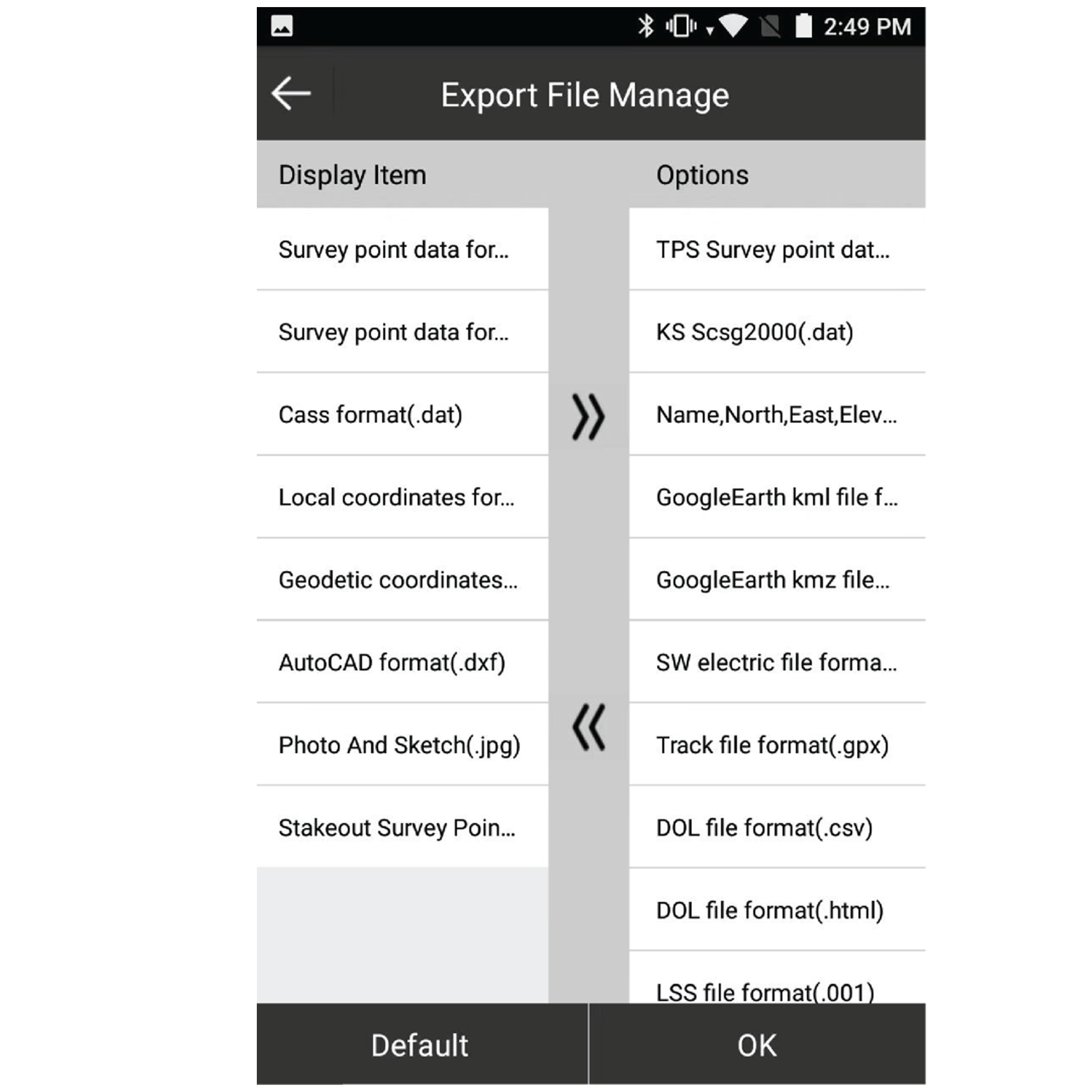
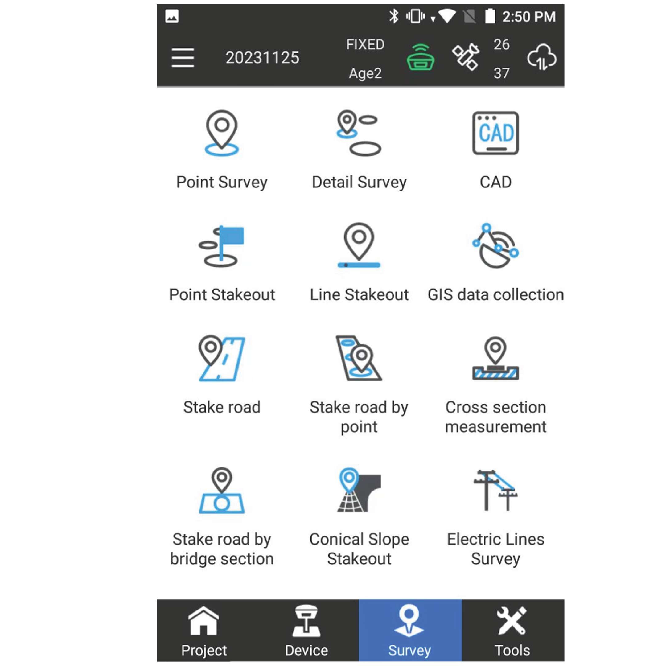
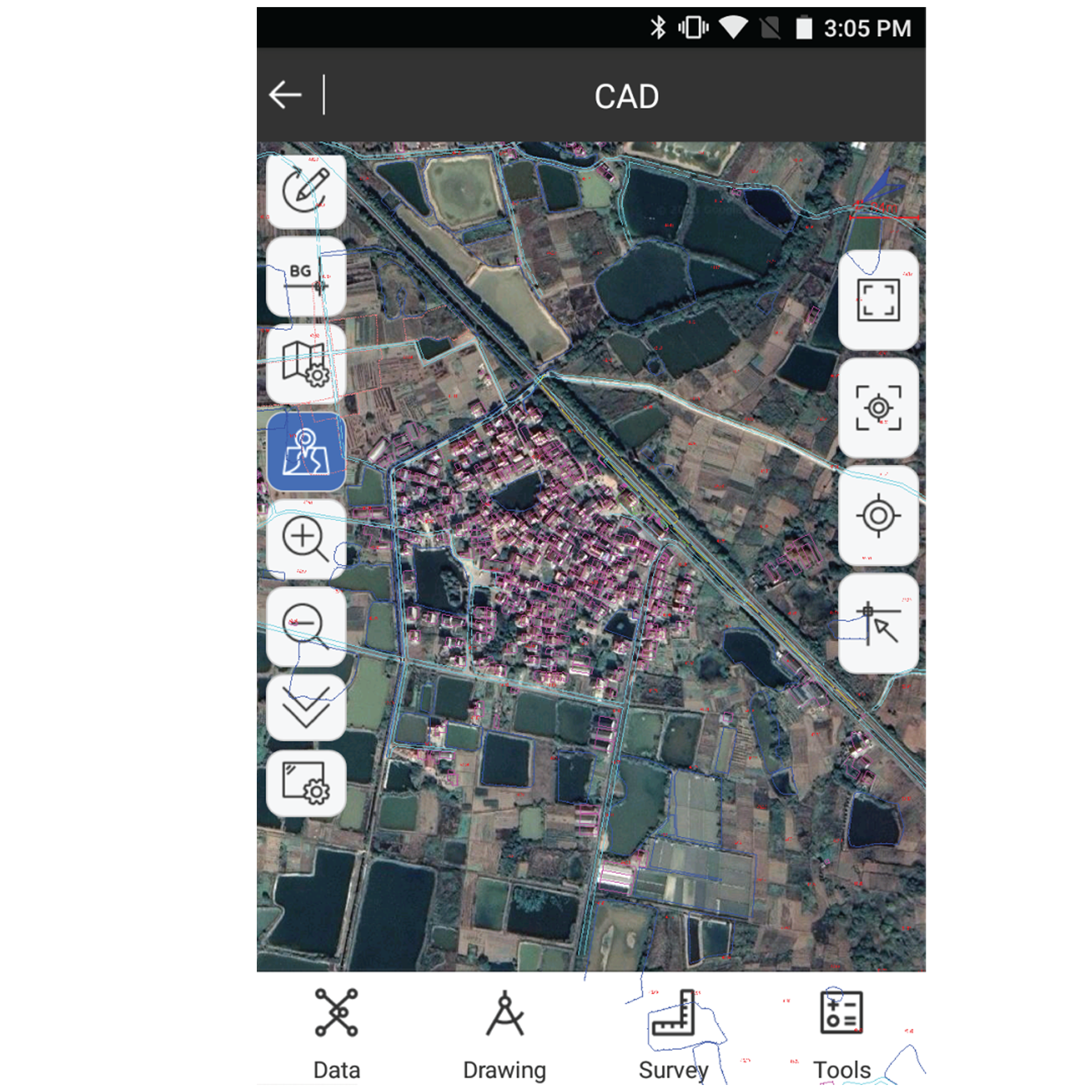
RinoLink Software is an advanced surveying and geospatial data management solution that streamlines field data collection, project management, coordinate calculations, and equipment integration for efficient surveying and construction workflows.

  • Intuitive and user-friendly interface
  • Real-time field-to-office data synchronization
  • GNSS and total station compatibility
  • Efficient survey data management
  • Coordinate geometry (COGO) tools

About the Rinolink Software.

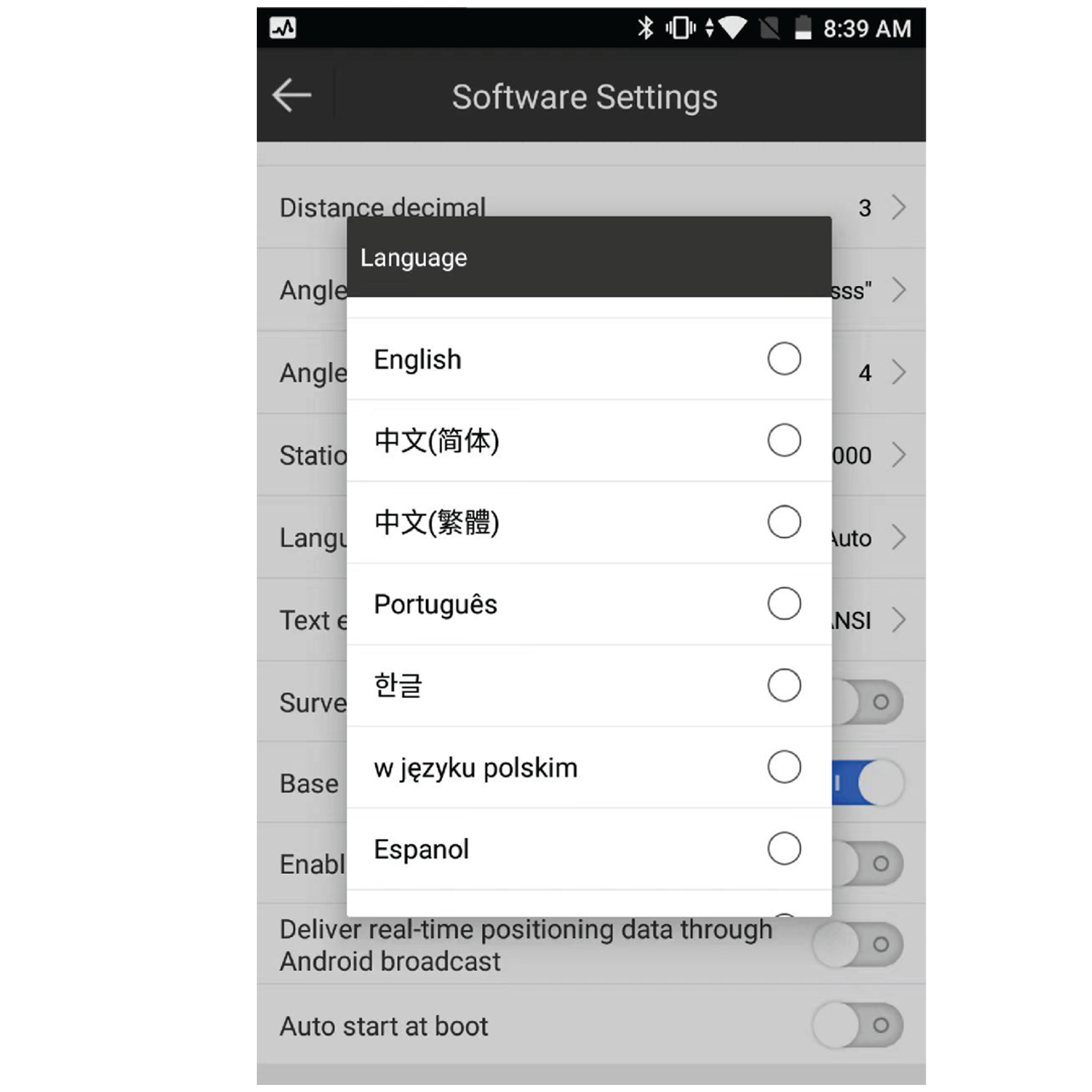
RinoLink Software is a powerful surveying and geospatial data management platform designed to streamline field-to-office workflows. It enables surveyors, engineers, and construction professionals to efficiently collect, process, manage, and share survey data from GNSS receivers, total stations, and other geospatial instruments. With an intuitive interface and advanced data handling capabilities, RinoLink helps improve productivity, accuracy, and collaboration across surveying and construction projects.

Backed by GeoSurv Africa

Calibration, repair and accuracy testing for most professional brands.

We match the kit to your accuracy needs and budget, no upselling.

Phone, email or WhatsApp a person who actually knows the gear.

Cover project peaks or service downtime with short-term hire.

Who can benefit from RinoLink Software?

Surveyors, engineers, construction professionals, GIS specialists, and geospatial organizations can benefit from its capabilities.

Does RinoLink support GNSS receivers?

Yes. The software is designed to work with compatible GNSS receivers and surveying equipment.

Can RinoLink be used for construction layout?

Yes. It includes tools for stakeout, layout, and positioning tasks used in construction projects.

Does the software support coordinate calculations?

Yes. It includes coordinate geometry (COGO) tools for accurate survey computations and data processing.

Can survey data be shared between field and office teams?

Yes. RinoLink supports efficient data synchronization and collaboration workflows.

Trusted by Professionals

The quality of the equipment and level of service exceeded our expectations. GeoSurv Africa has become our preferred surveying solutions provider.

Sipho DlaminiSenior Surveyor

GeoSurv Africa has been instrumental in helping us deliver projects accurately and on schedule. Their equipment is reliable, and their support team is always ready to assist.

Pieter Botha,Project Manager

GeoSurv Africa's commitment to quality and customer satisfaction sets them apart. Their knowledgeable team always provides practical solutions tailored to our needs.

Andrew SmithLand Surveying Professional

The training and technical support we received were invaluable. The team ensured we were confident using the equipment and achieving accurate measurements from day one.

James PetersonEngineering Survey Specialist

Reliable products, expert advice, and excellent service. GeoSurv Africa continues to play an important role in helping us deliver successful projects on time and within budget.

Thabo MokoenaDavid Nkosi, Land Surveyor

GeoSurv Africa consistently provides reliable surveying equipment and exceptional support. Their team helped us select the right solution for our project, and the results exceeded our expectations.

Richard BothaInfrastructure Project Coordinator

They helped us choose the right equipment based on our actual project needs. Honest advice, quality products, and excellent after-sales support.

Ryan JacobsCivil Contractor, Durban, Durban

Related Products

Products

Browse by Industry & Category