Ceaser Field Software

CEASER can accommodate any project that can be defined by Geometric Parameters, Strings, Coordinates or Tin Models. Geometric Parameters will include horizontal and vertical alignments, design widths, batters, widenings, sidedrains, alignment points, etc.

About the Ceaser Field Software.

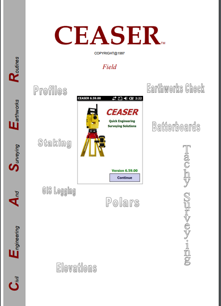
CEASER is a Windows Mobile based program, which has been developed to assist the Engineering and Topographical surveyor through all phases of a surveying project. It releases the surveyor from all pre-calculations necessary to set out any phase of a project that can be defined by Geometric Parameters, Tin Models, Strings, Platforms, Arcs, Tubes, Tunnels or Coordinates. The surveyor can set up anywhere on the project, observe a minimum of two known reference points, and immediately setout or check anything on the project, without having to set anything on the instrument nor do any calculations. The surveyor can on the fly change from a Level to a Total Station to a GPS, while busy with a Job. Projects having such parameters are:

  • Roads
  • Railways
  • Dams
  • Airport Runways
  • Golf Courses
  • Canals…etc.
All data can be transferred between CEASER and CEASER_PC, which is a PC based design and construction package, operating in Windows XP, Vista or Windows7. CEASER has mainly been developed to work with a Total Station or a GPS, but it can also be setup to work in manual mode, in which case all data has to be entered via the Pocket PC’s keyboard into CEASER. When CEASER is used on a Total Station or a GPS, all data transferred between the Pocket PC and the Total Station is done electronically, thereby eliminating the risk of error that is associated with manual operations and thereby also increasing the productivity of the surveyor. When using a surveying instrument, such as a Total Station or a GPS, the surveyor is not bounded anymore to the stakeline and offset method of surveying. CEASER uses dynamic surveying principals and it is now possible to setup the instrument anywhere on site and setout any point required without having to calculate any setting out data. With CEASER, the surveyor never has to do any calculations!

Backed by GeoSurv Africa

Calibration, repair and accuracy testing for most professional brands.

We match the kit to your accuracy needs and budget, no upselling.

Phone, email or WhatsApp a person who actually knows the gear.

Cover project peaks or service downtime with short-term hire.

What is the CEASER Field Software?

CEASER is a Windows Mobile-based program designed to assist engineering and topographical surveyors through every phase of a surveying project. Its primary function is to eliminate the need for manual pre-calculations when setting out project phases.

Does the surveyor need to perform manual calculations on site?

No. With CEASER, the software handles all calculations. You can set out or check anything on the project immediately without having to calculate setting-out data or configure the instrument manually.

What types of project elements can CEASER define?

The software can set out phases defined by Geometric Parameters (horizontal/vertical alignments, design widths, batters, widenings, side drains, etc.), Tin Models, Strings, Platforms, Arcs, Tubes, Tunnels, or Coordinates.

Do I have to use traditional stakeline and offset methods?

No. CEASER uses dynamic surveying principles. You are no longer bound to the stakeline; you can set up the instrument anywhere on site, observe a minimum of two known reference points, and set out any required point immediately.

Trusted by Professionals

The quality of the equipment and level of service exceeded our expectations. GeoSurv Africa has become our preferred surveying solutions provider.

Sipho DlaminiSenior Surveyor

GeoSurv Africa has been instrumental in helping us deliver projects accurately and on schedule. Their equipment is reliable, and their support team is always ready to assist.

Pieter Botha,Project Manager

GeoSurv Africa's commitment to quality and customer satisfaction sets them apart. Their knowledgeable team always provides practical solutions tailored to our needs.

Andrew SmithLand Surveying Professional

The training and technical support we received were invaluable. The team ensured we were confident using the equipment and achieving accurate measurements from day one.

James PetersonEngineering Survey Specialist

Reliable products, expert advice, and excellent service. GeoSurv Africa continues to play an important role in helping us deliver successful projects on time and within budget.

Thabo MokoenaDavid Nkosi, Land Surveyor

GeoSurv Africa consistently provides reliable surveying equipment and exceptional support. Their team helped us select the right solution for our project, and the results exceeded our expectations.

Richard BothaInfrastructure Project Coordinator

They helped us choose the right equipment based on our actual project needs. Honest advice, quality products, and excellent after-sales support.

Ryan JacobsCivil Contractor, Durban, Durban

Related Products

Products

Browse by Industry & Category